Map Exploration
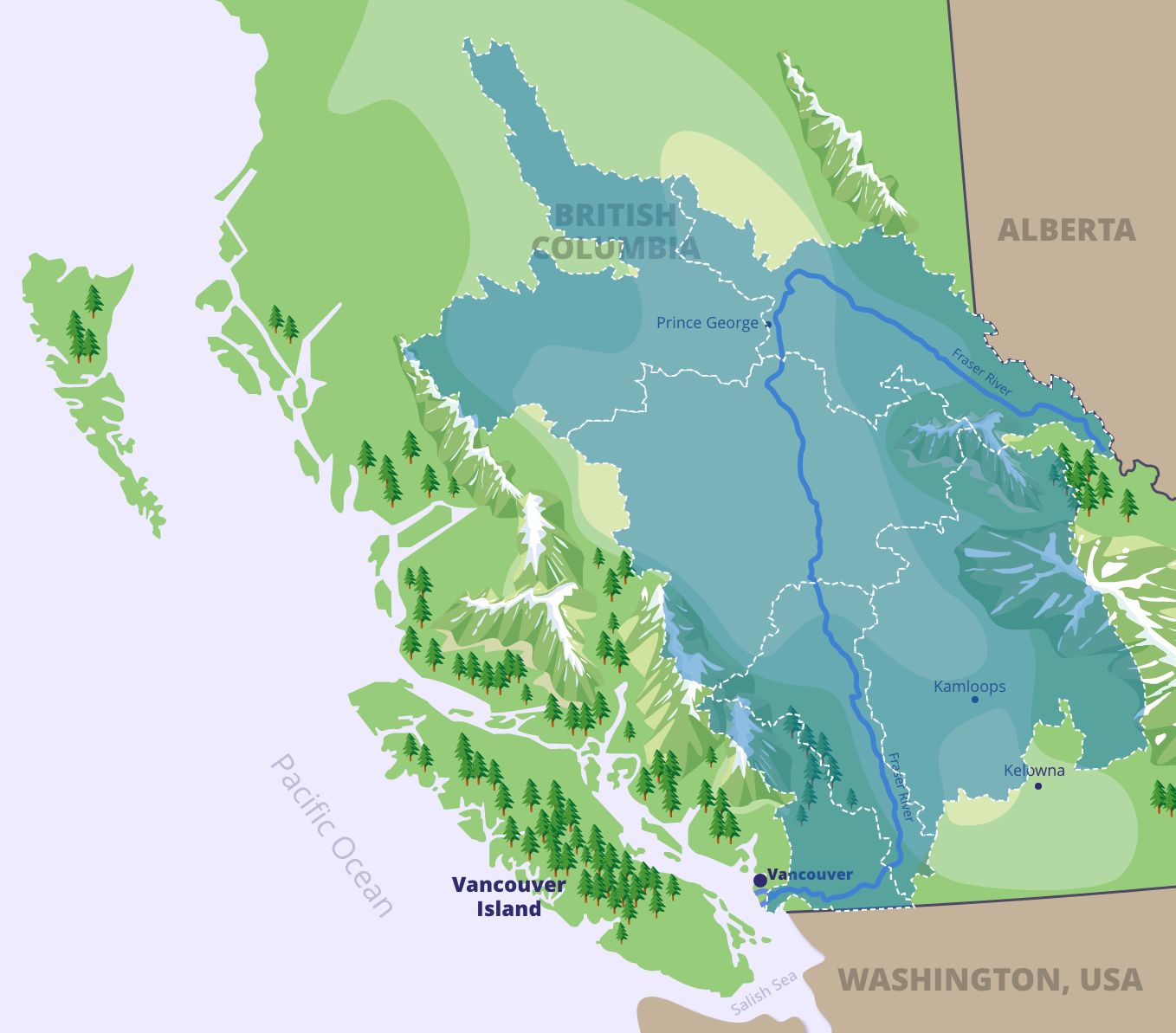
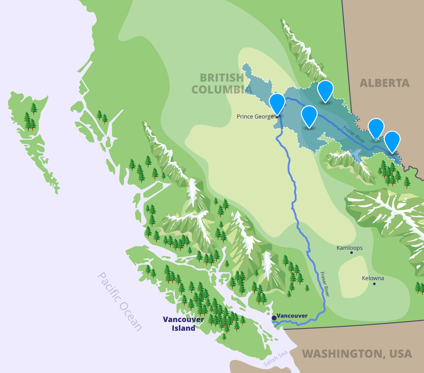
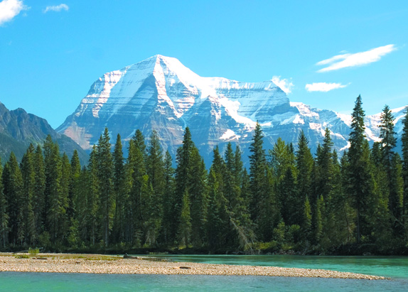
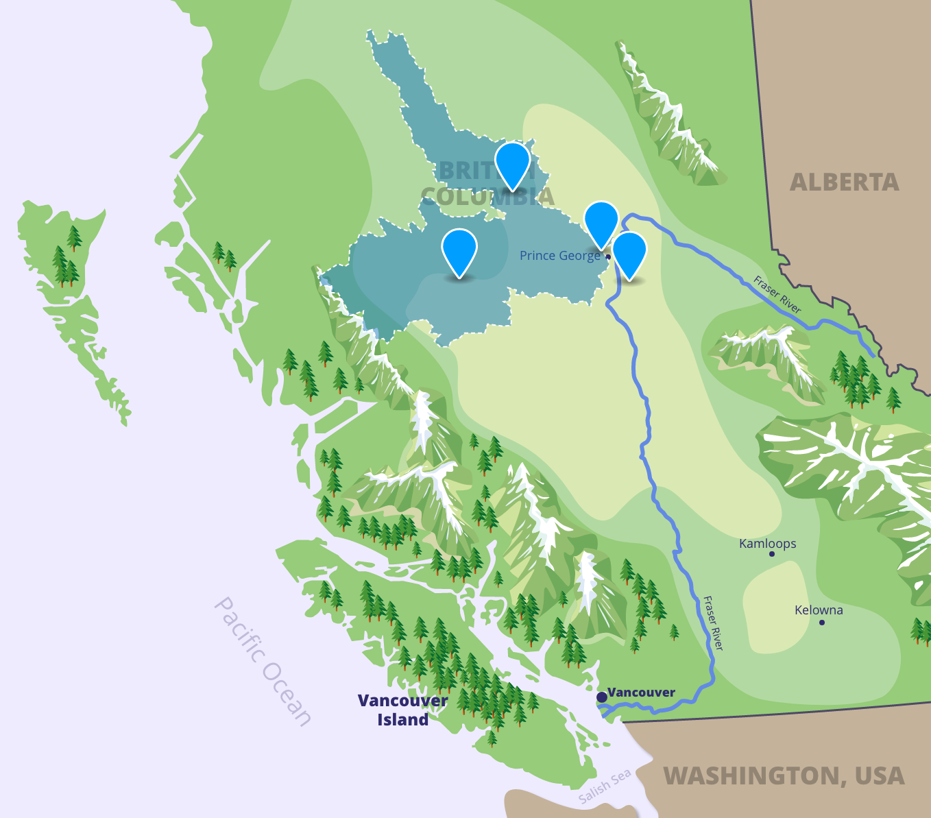
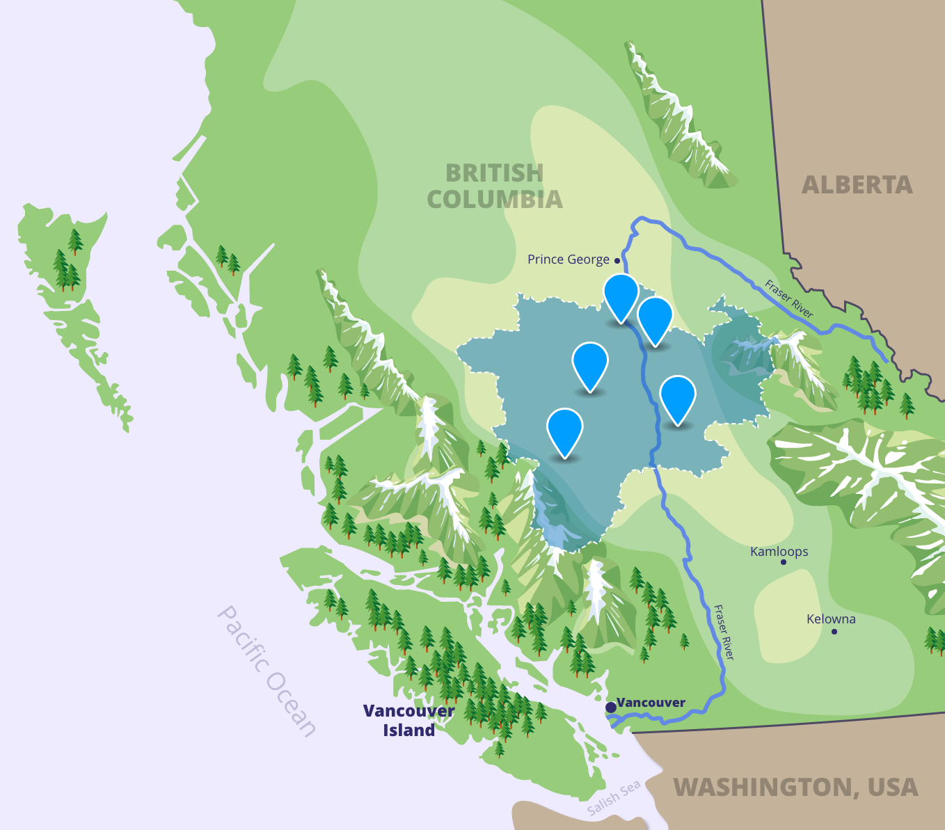
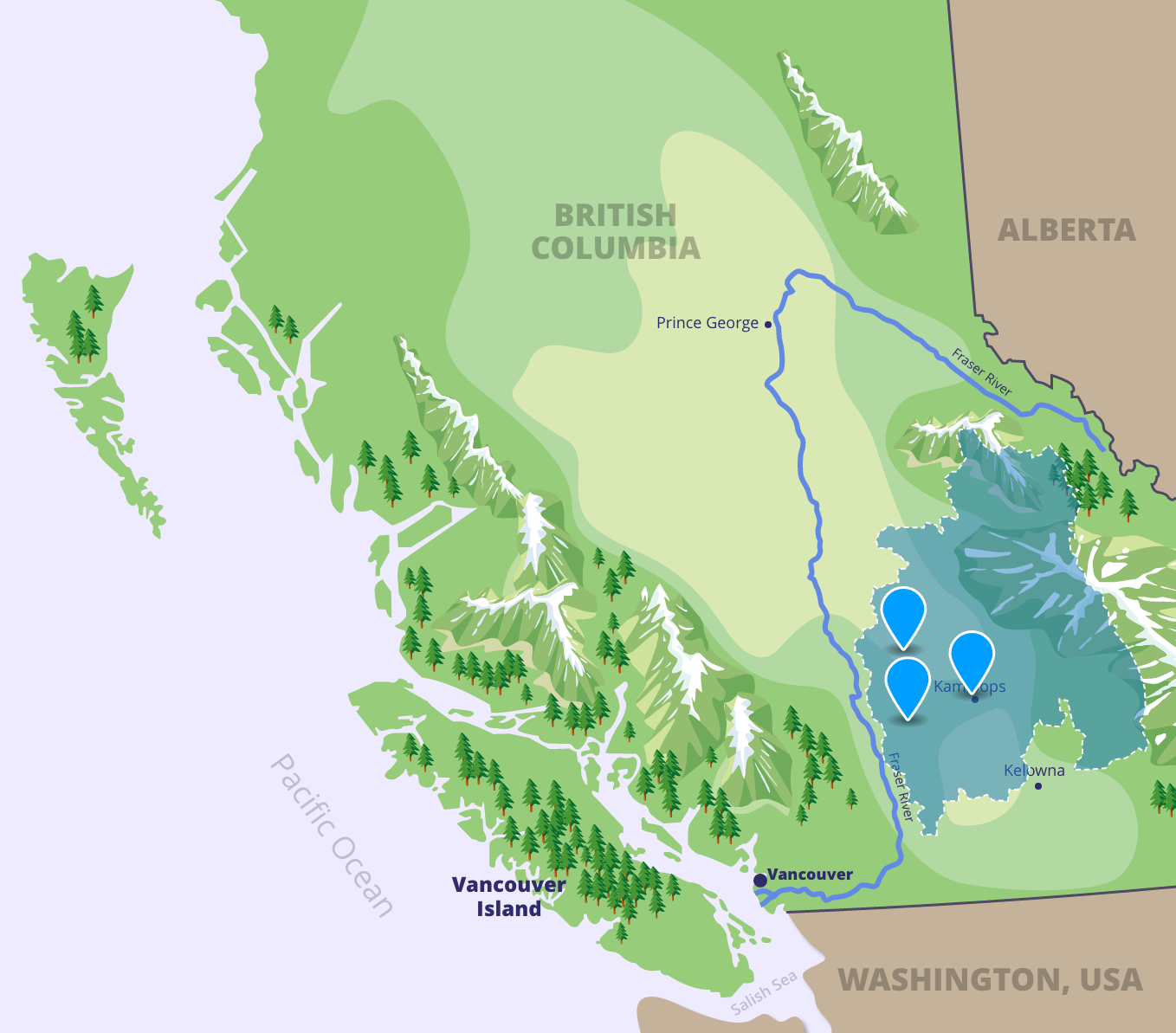
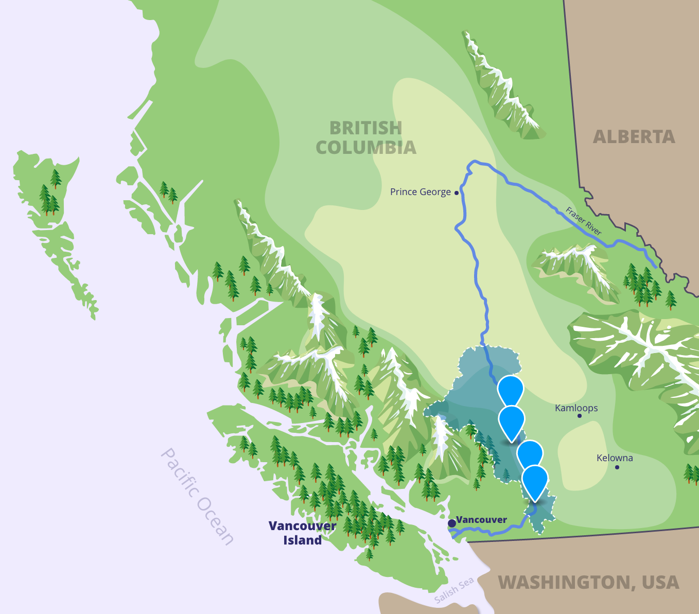
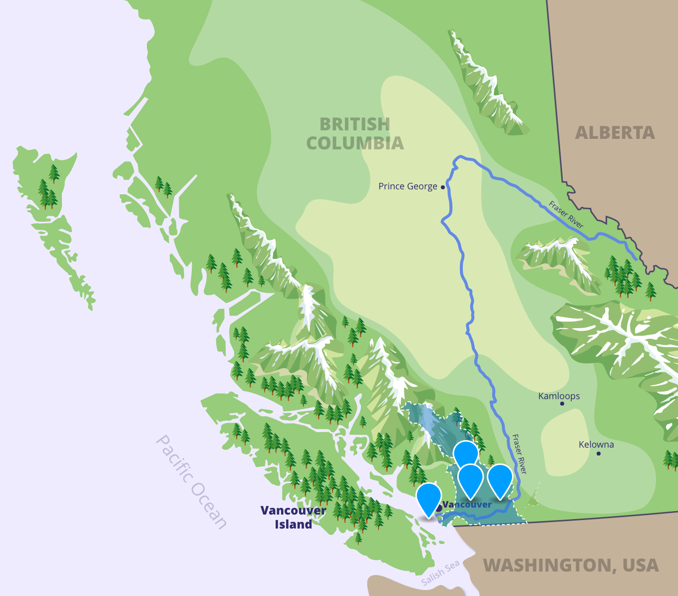
The Fraser River is the biggest river in British Columbia – it’s 1,375 kilometers long! The place where a river begins is called the headwaters. The Fraser River headwaters are at Mount Robson in the Canadian Rocky Mountains. The Fraser River ends near the city of Vancouver, as it empties into the Salish Sea.
The Fraser Watershed is home to many British Columbians and includes over a quarter of all land in the province.
The Fraser River was named after Simon Fraser, who was the first settler to explore the Fraser River.

A river is a flowing body of water that usually drains into an ocean, sea, lake, or another river. It is longer than it is wide, and follows the path of gravity as it twists and turns through its territory. Rivers usually contain fresh water but, when they meet the sea, the water becomes brackish. Brackish water is a mixture of salt and fresh water. The fresh water found in rivers comes from springs, melting snow, precipitation, and other streams, creeks, or other rivers.

![]()
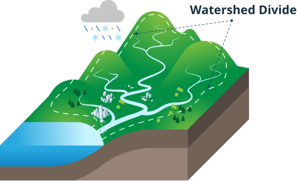
A watershed is an area of land where any drop of water that enters the environment eventually ends up in the same body of water. Watersheds can include many different habitats like mountains, streams, forests, valleys, and creeks, as well as farms, cities, and towns. We all live in a watershed—even if we don’t live very close to a body of water!
Map Exploration Activity
Introduction
To help us understand the different parts of the Fraser River watershed, we can divide it into six different regions: the Fraser Headwaters, Nechako, Cariboo-Chilcotin, Fraser Canyon, Thompson, and Lower Fraser. Each of these regions has its own unique traits that make it a special and important part of the watershed.
First Nations have lived throughout the Fraser Watershed, since time immemorial (that means before anyone can remember!) When you click on each tab, you will learn about different First Nations who speak the same language and live within these regions. Within each of these language groups are many different and unique individual Nations.
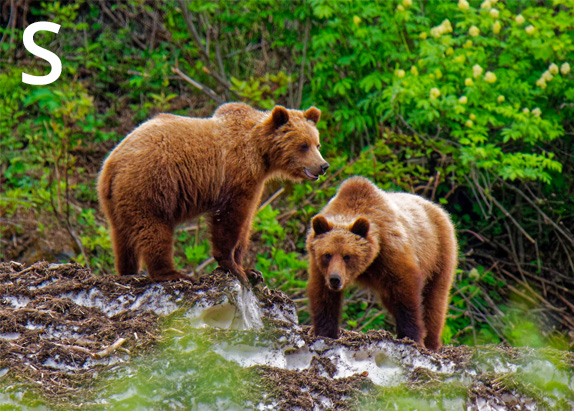
Click each of the blue tabs to learn about the different regions of the watershed. As you explore, look for the hidden letter in each region. When you find it, write it down – at the end of this section, you will have the chance to unlock the watershed code!
Fraser Headwaters
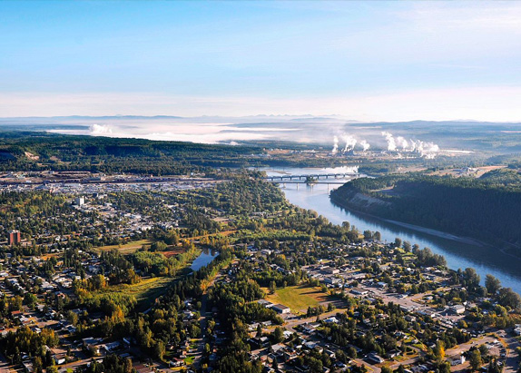
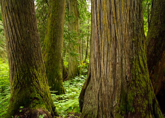
The Fraser Headwaters are where the Fraser River begins. Here, the river is clear and blue, thanks to the glacial waters that feed into the river. The Fraser Headwaters is the traditional territory of First Nations in the Dakelh, Wet’suwet’en and Sekani language groups.
Click the icons to explore the Fraser Headwaters and learn more about this part of the watershed.





Nechako
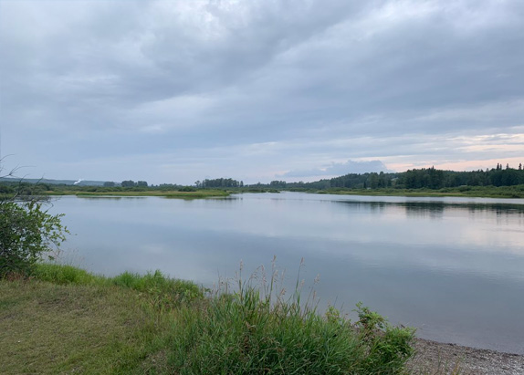
As the Fraser River bends south, it enters the Nechako region. This region is named for the Nechako River, the second-largest tributary of the Fraser. A tributary is a river or stream that connects with a bigger river and drains its water into the bigger river. The Nechako region is the traditional territory of First Nations in the Dakelh language group.
Click the icons to explore the Nechako and learn more about this part of the watershed.




Cariboo-Chilcotin
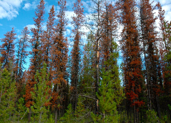
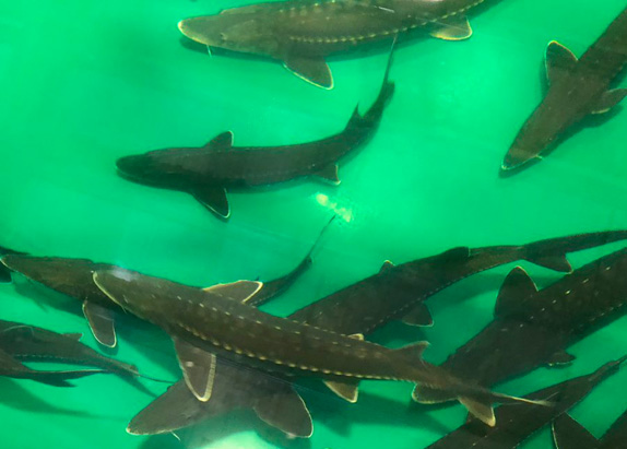
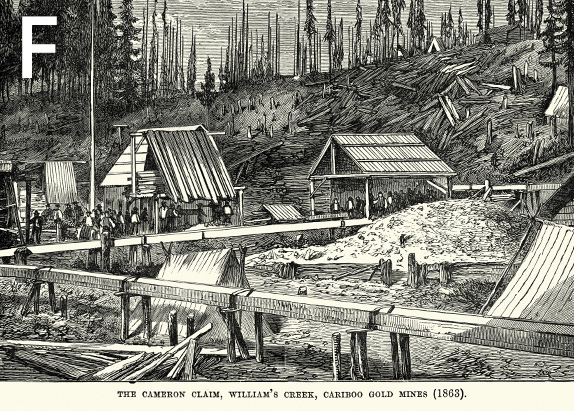
The scenery changes as the Fraser River travels through the Cariboo-Chilcotin region. This part of the watershed contains dense forests, dry grasslands, cedar rainforests, glacial lakes— even some deserts! The Cariboo-Chilcotin region is the traditional territory of First Nations in the Tsilhqot’in, Dakelh, and Secwepemc language groups.
Click the icons to explore the Cariboo-Chilcotin and learn more about this part of the watershed.





Thompson
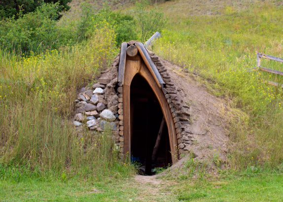
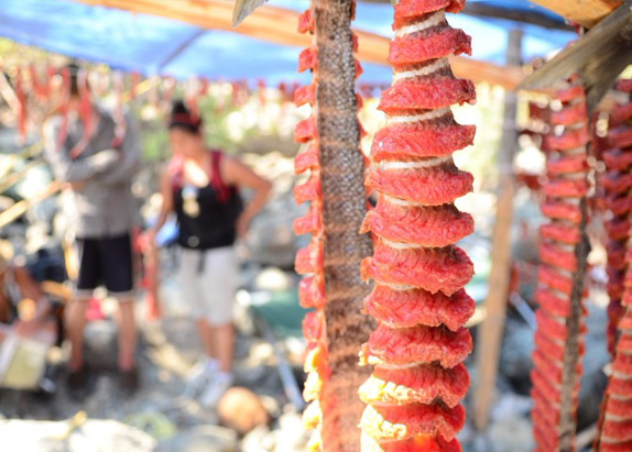
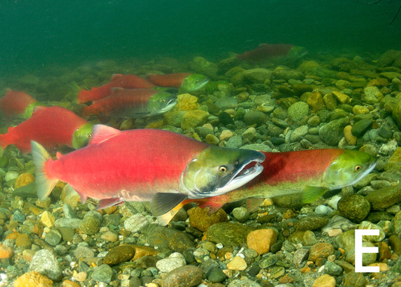
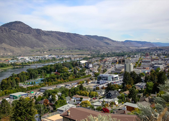
The Thompson region is a unique part of the watershed because the Fraser River does not actually run through it! Instead, this region is home to the Thompson River – the largest tributary of the Fraser River. The Thompson region is the traditional territory of First Nations in the Nlaka’pamux, Okanagan, and Secwepemc language groups.
Click the icons to explore the Thompson and learn more about this part of the watershed.



Fraser Canyon
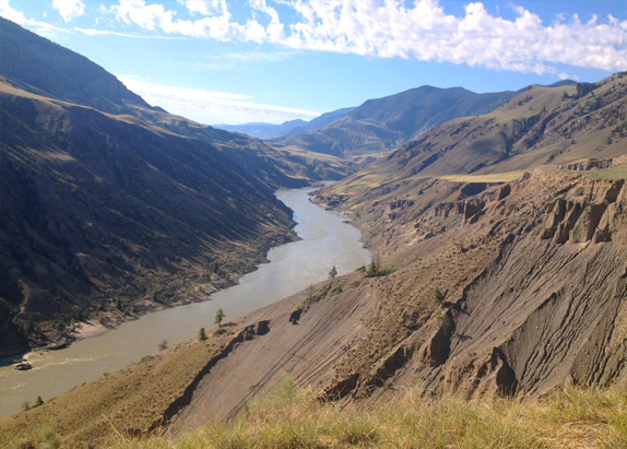
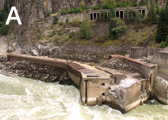
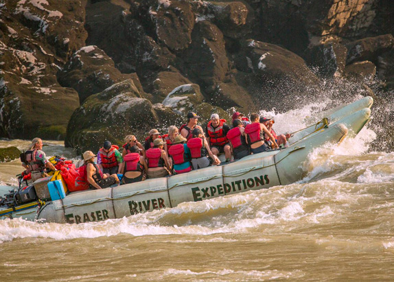
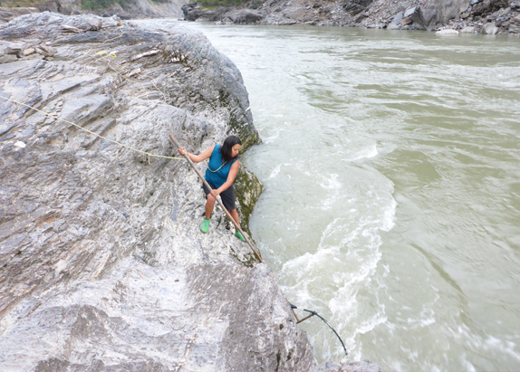
The Fraser Canyon sits between the Coastal and Cascade Mountains. It is home to rugged terrain, making it a great place for people seeking outdoor adventures. The Fraser Canyon region is the traditional territory of First Nations in the St’at’imc, Secwepemc, and Nlaka’pamux language groups.
Click the icons to explore the Fraser Canyon and learn more about this part of the watershed.




Lower Fraser
![]()
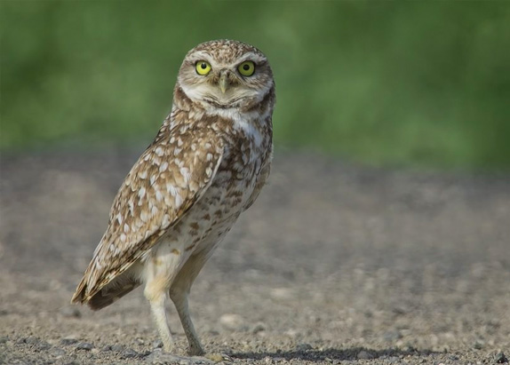
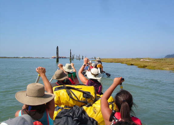
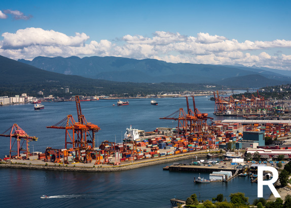
The Lower Fraser region, home to the city of Vancouver, is the most populated region of the watershed. Here, we find the Fraser estuary, which is the last stretch of the river before it meets the Salish Sea. The Lower Fraser region is the traditional territory of the Coast Salish People, a group of First Nations who speak Halkomelem – a language with as many as 17 dialects!
Click the icons to explore the Lower Fraser and learn more about this part of the watershed.




Solve the Puzzle!
You’ve learned a lot about the different regions of the watershed! Unscramble the six letters you discovered in this section to spell the word that links all six regions together. What is it?


