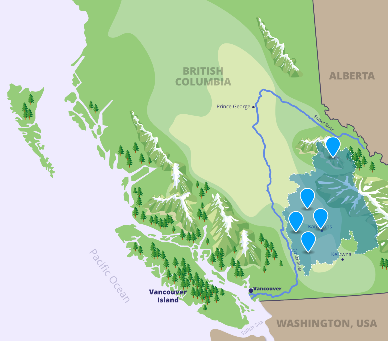
Map Exploration
Throughout your Watershed CPR experience, you will learn about the ecological, cultural, and geological aspects of the Fraser River. Let’s begin by gaining a better understanding of the river itself.
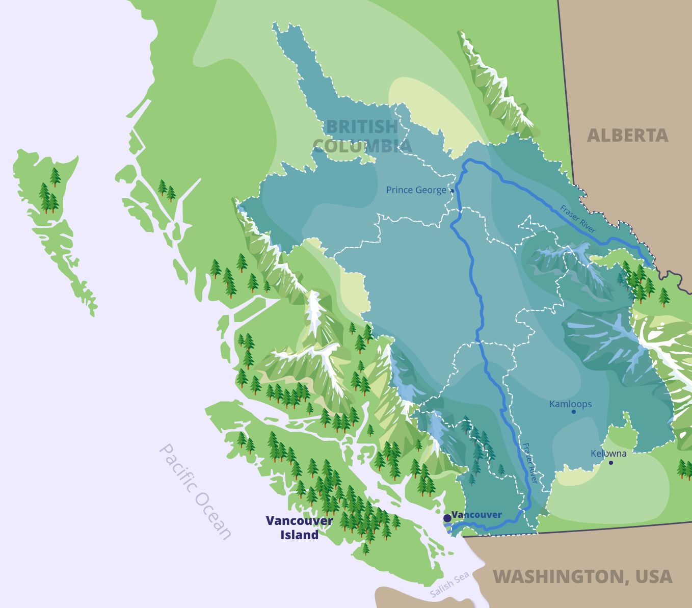
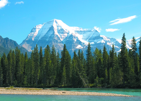
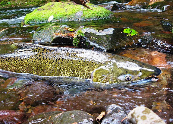
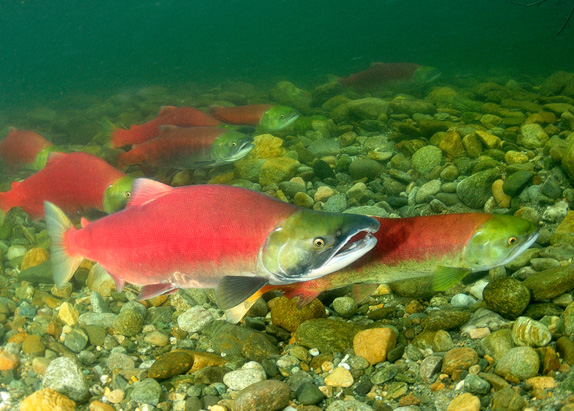
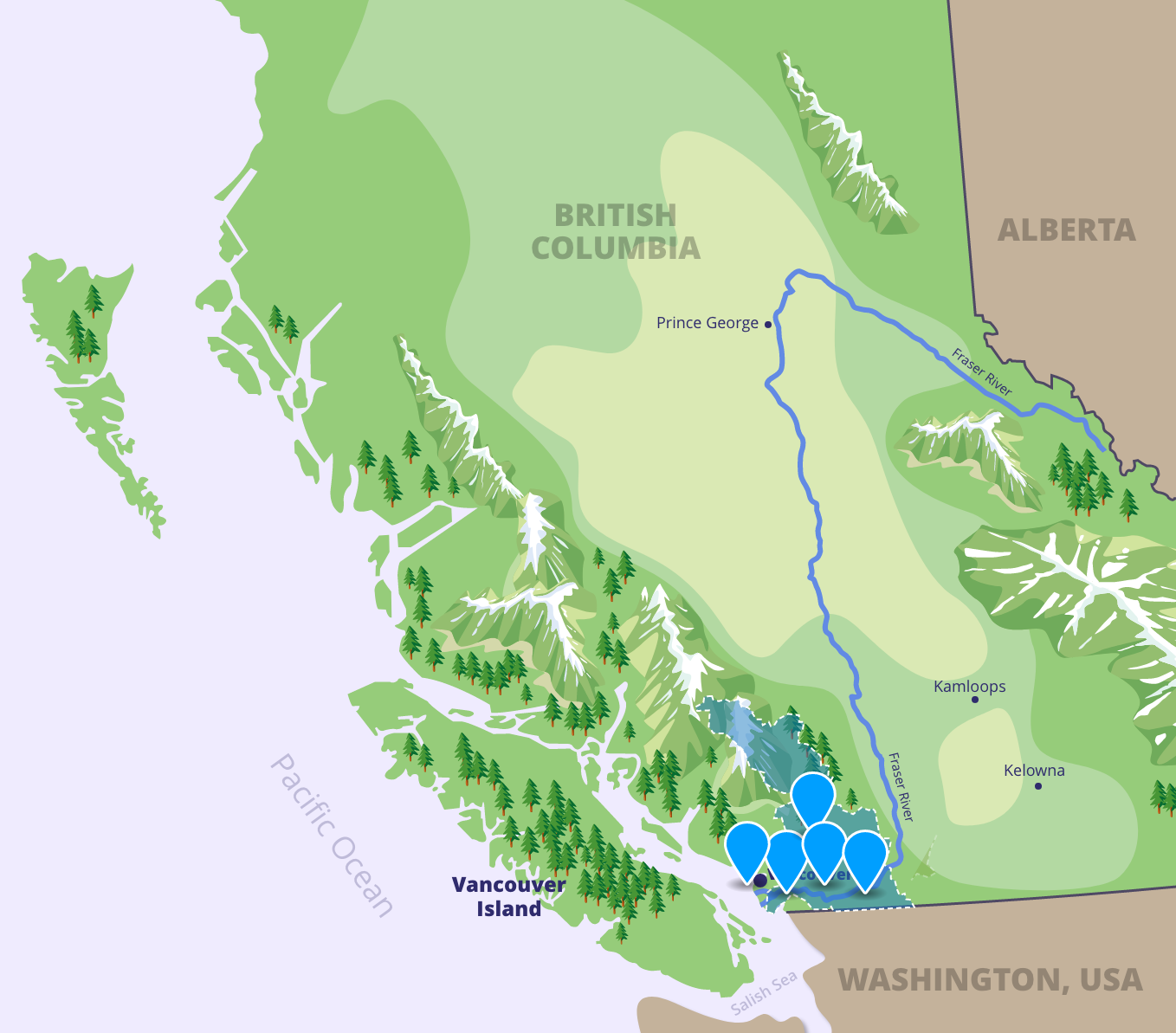
At 1,375 kilometers, the Fraser River is the longest river in British Columbia. The Fraser headwaters begin at Mount Robson in the Canadian Rocky Mountains. Stretching west through Prince George, the Fraser then meets the Nechako River before flowing down through the Cariboo-Chilcotin. After connecting to the Thompson River, the Fraser carves through the Fraser Canyon, ending its journey in the Lower Fraser as it empties into the Salish Sea. The Fraser River’s journey takes it through 11 of British Columbia’s 14 biogeoclimatic zones!
The Fraser Watershed is home to two-thirds of British Columbians and includes over a quarter of all land in the province.
The Fraser River was named after Simon Fraser, who was the first settler to explore the Fraser River.

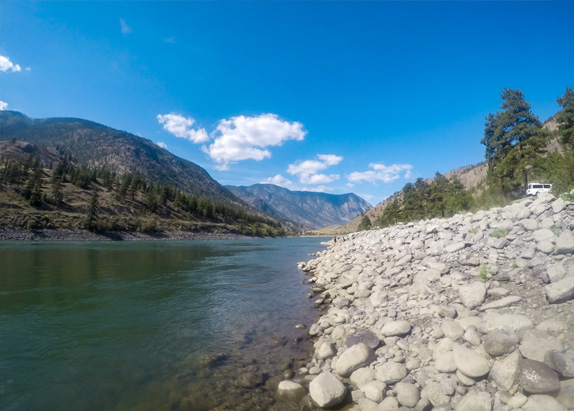
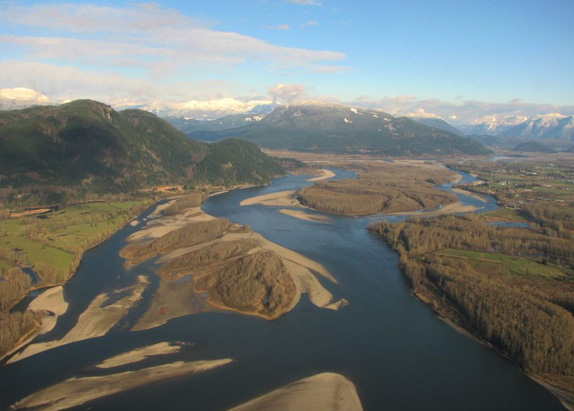
Rivers are flowing bodies of water that typically drain into an ocean, sea, lake, or other river. They wind through their territory, following the path of gravity. The fresh water of rivers, which usually comes from sources such as springs, melting snow, precipitation, streams, or creeks, turns brackish upon meeting the salt water of the sea.
![]()
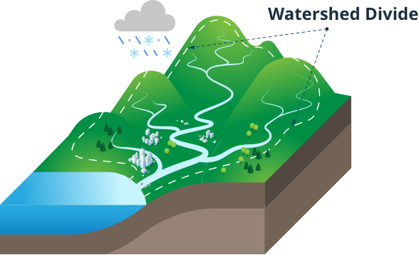
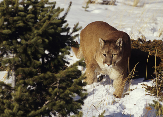
A watershed is defined as an area of land that drains all the water in that environment into a particular stream, river, or lake. Watersheds can include features such as mountains, streams, forests, valleys, and creeks, as well as farms, cities, and towns. We all live in a watershed—even if we don’t live very close to a body of water! This means that maintaining healthy watersheds is important to everyone, because they provide essential services, such as clean drinking water, that support quality of life.
Map Exploration Activity
Introduction
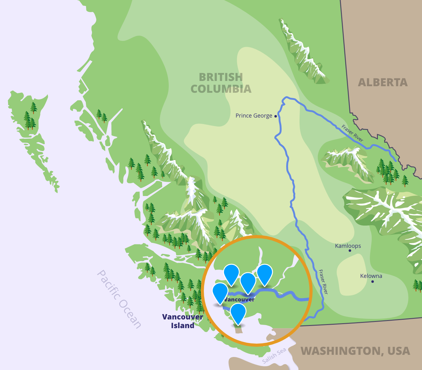
The Fraser River Watershed can be divided into six different regions: the Fraser Headwaters, Nechako, Cariboo-Chilcotin, Fraser Canyon, Thompson, and Lower Fraser. Each of these regions is unique in its own way, comprised of diverse terrain, wildlife, communities, and industries.
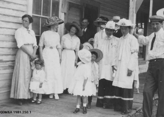
First Nations have lived throughout the Fraser Watershed since time immemorial (meaning longer than anyone can remember or trace). When you click on each tab, you will learn about different First Nations who speak the same language and live within these regions. Within each of these language groups are many unique individual Nations.
Click each of the blue tabs to find out more about the different regions of the watershed.
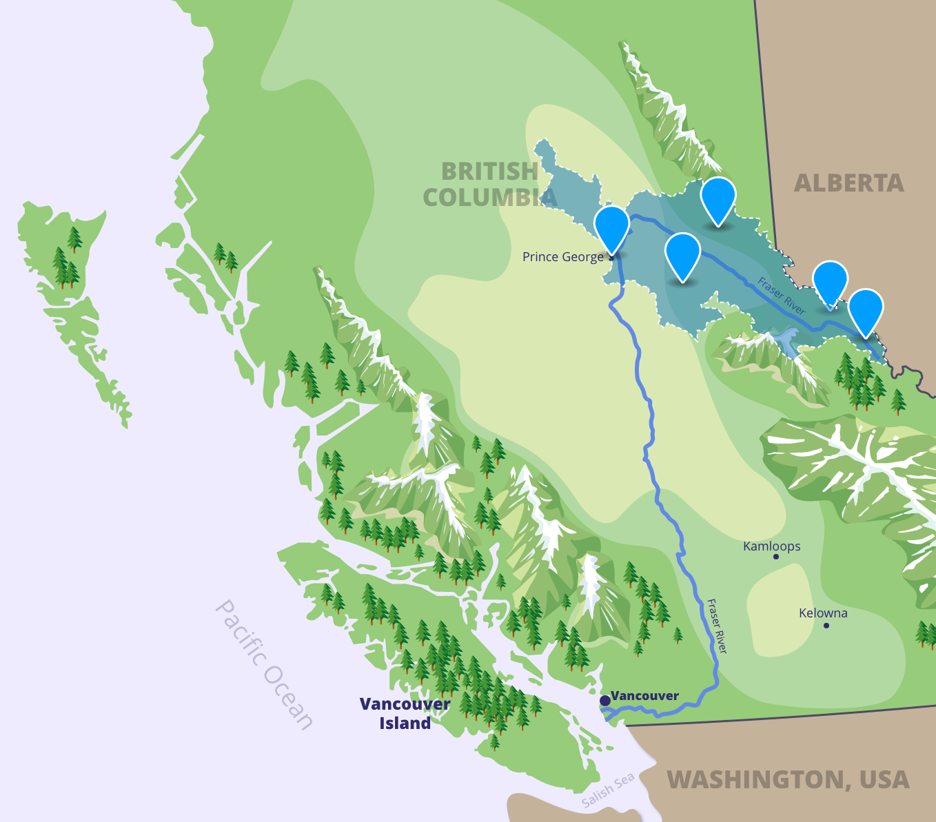
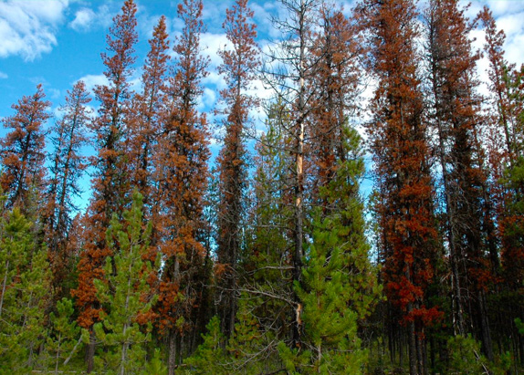
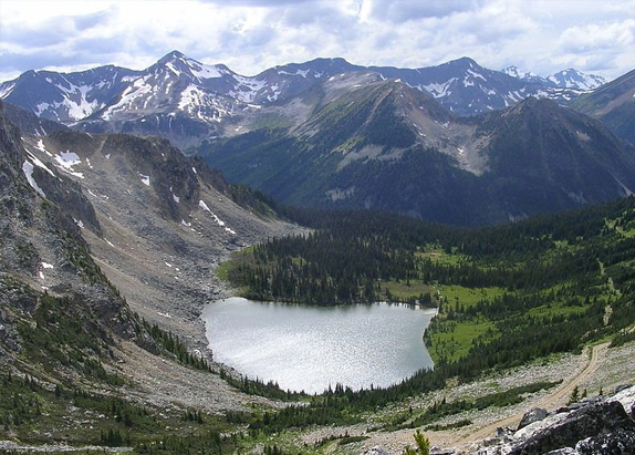
Fraser Headwaters
The Fraser Headwaters are where the Fraser River begins. Here, the river is clear and blue, thanks to the glacial waters that feed into it. The Fraser Headwaters is the traditional territory of First Nations in the Dakelh, Wet’suwet’en and Sekani language groups.
Click the icons to explore the Fraser Headwaters and learn more about this part of the watershed.
Nechako
As the Fraser River bends south, it enters the Nechako region. This region is named for the Nechako River, the second-largest tributary of the Fraser. A tributary is a river or stream that merges with and drains into a larger river. The Nechako region is the traditional territory of First Nations in the Dakelh language group.
Click the icons to explore the Nechako and learn more about this part of the watershed.
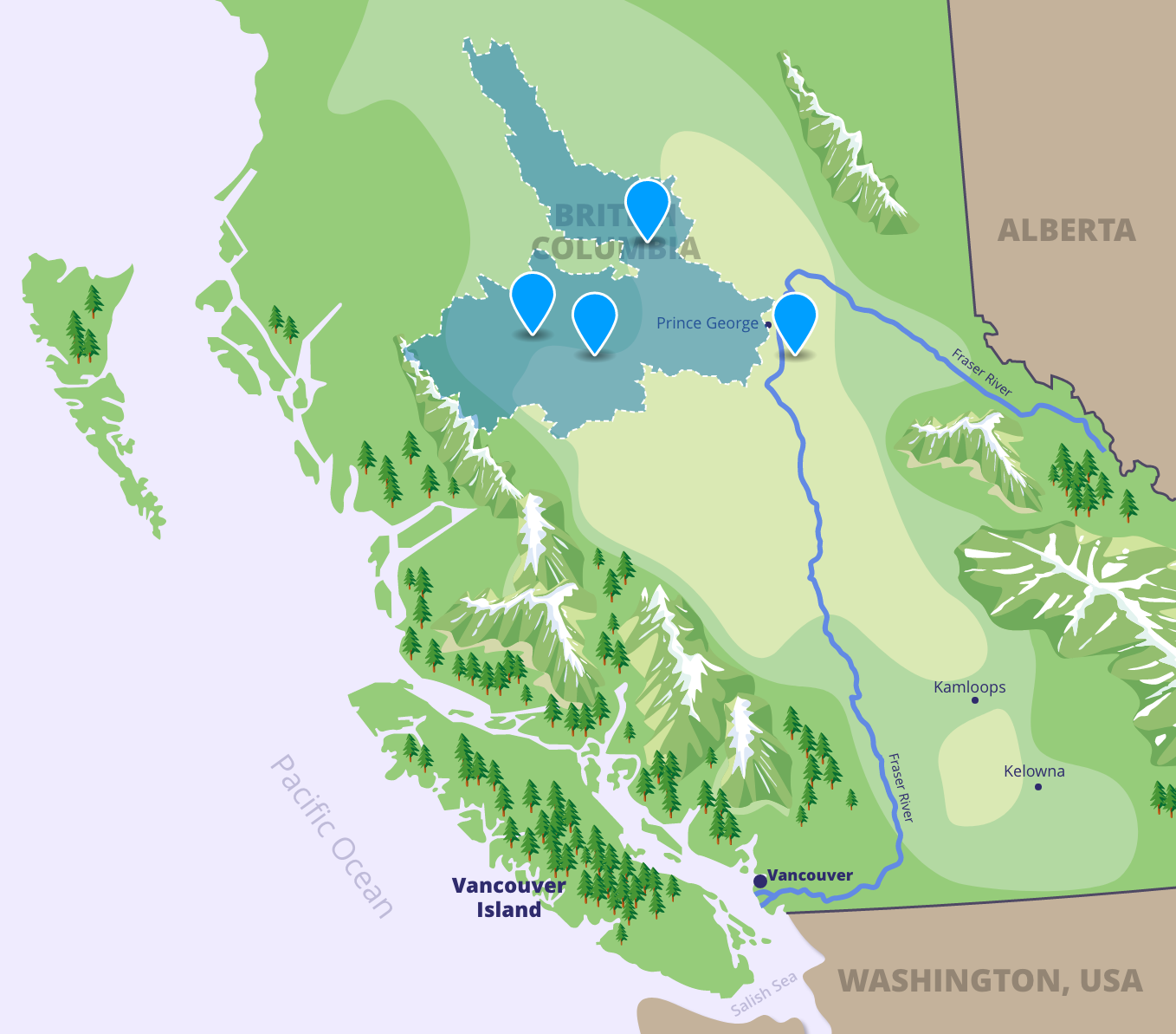

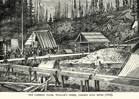
Cariboo-Chilcotin
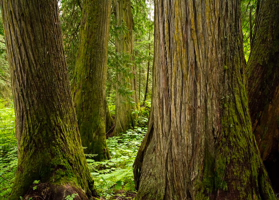
Passing through the cities of Quesnel and Williams Lake, the Cariboo-Chilcotin region of the Fraser River boasts almost six million hectares of dense forests, rolling grasslands, semi-arid deserts, glacial lakes, and granite-walled river gorges. The Cariboo-Chilcotin region is the traditional territory of First Nations in the Tsilhqot’in, Dakelh, and Secwepemc language groups.
Click the icons to explore the Cariboo-Chilcotin and learn more about this part of the watershed.
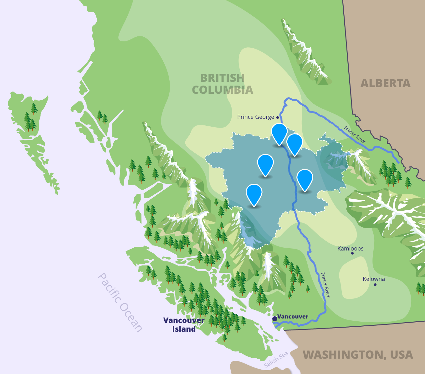
Thompson
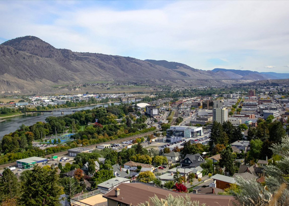
While the Fraser River doesn’t actually travel through the Thompson region, the Thompson River is its largest tributary. Characterized by a semi-arid and desert-like climate, this region sits largely in the rain-shadow of the Coastal and Cascade Mountains and has some of the hottest summer temperatures in the province. The Thompson region is the traditional territory of First Nations in the Nlaka’pamux, Okanagan, and Secwepemc language groups.
Click the icons to explore the Thompson and learn more about this part of the watershed.
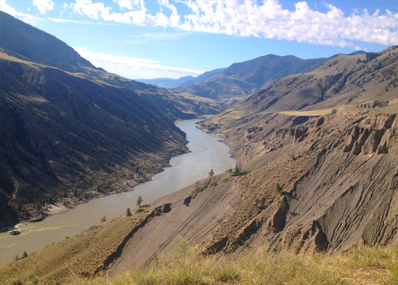
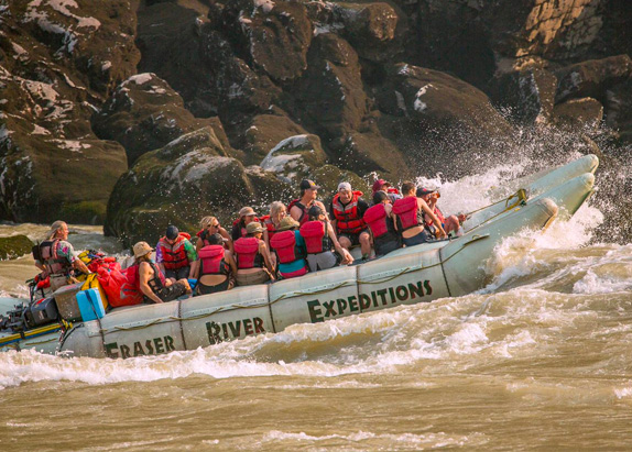
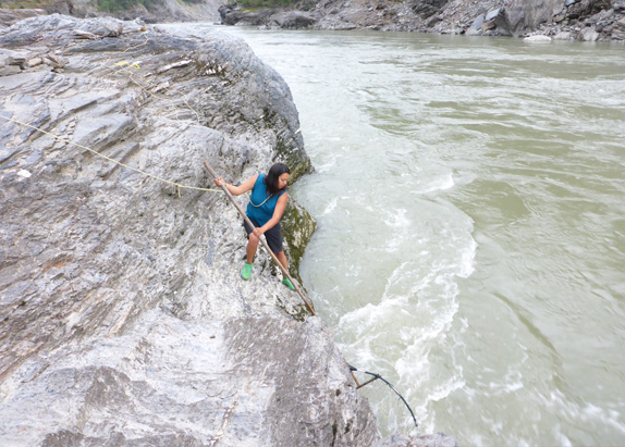
Fraser Canyon
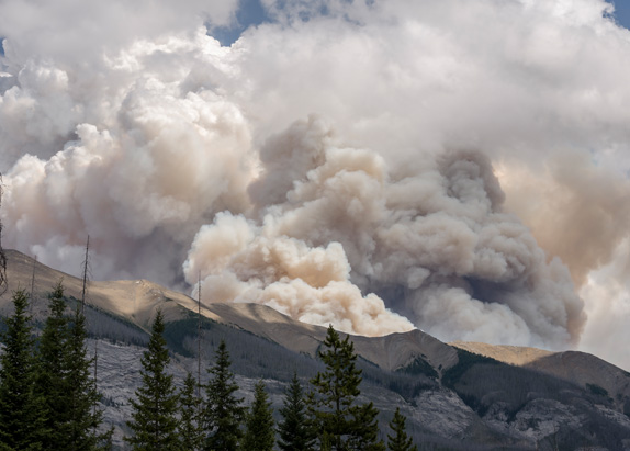
The Fraser Canyon sits between the Coastal and Cascade Mountains. Its rugged terrain makes it a playground for outdoor recreation enthusiasts. The Fraser Canyon region is the traditional territory of First Nations in the St’at’imc, Secwepemc, and Nlaka’pamux language groups.
Click the icons to explore the Fraser Canyon and learn more about this part of the watershed.
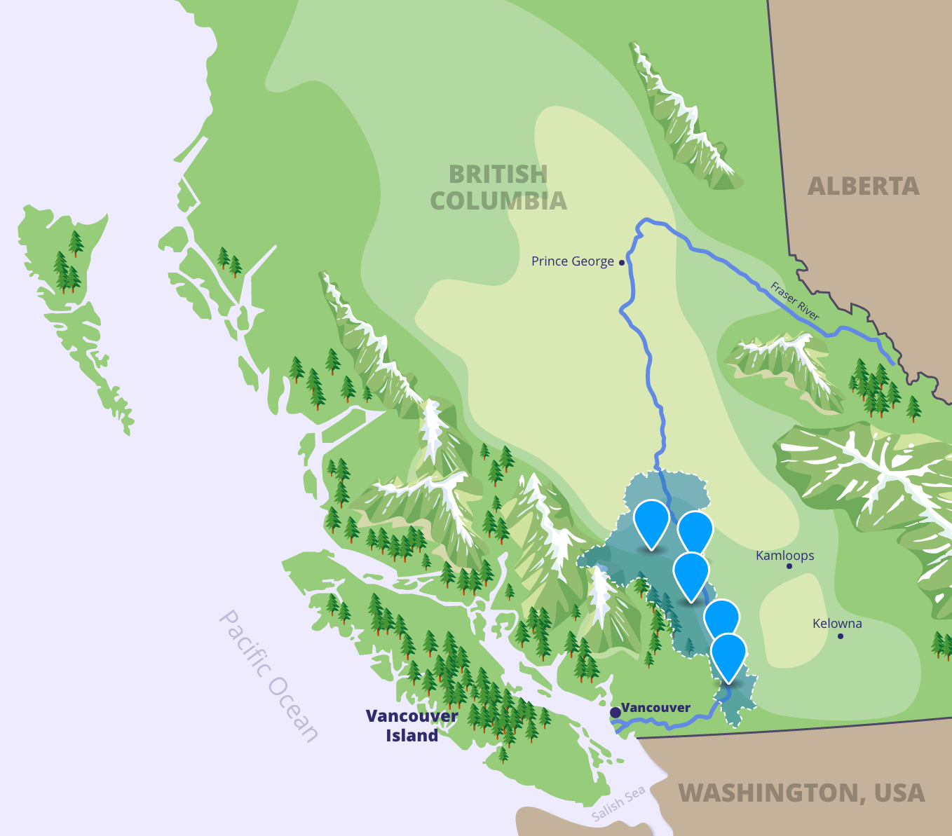
Lower Fraser
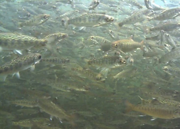
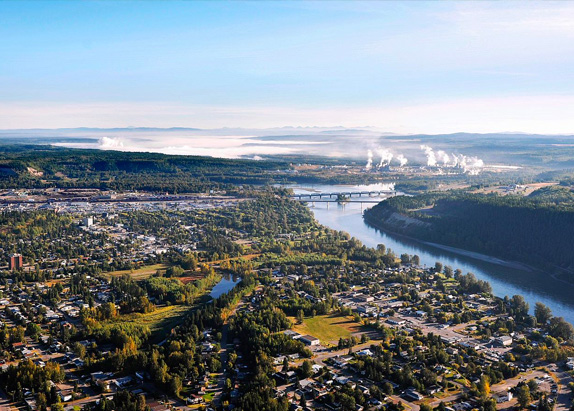
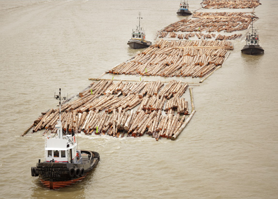
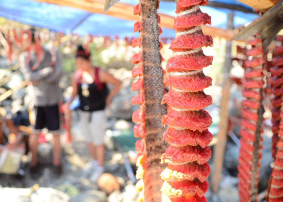
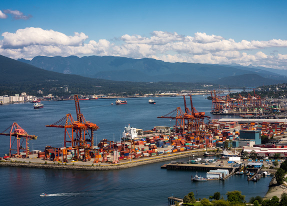
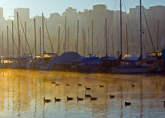
As the most densely populated region of the Fraser watershed, the Lower Fraser is the economic powerhouse of the province, generating revenue from industries such as agriculture, fisheries, and aquaculture. Characterized by mountains, valleys, temperate rainforests, and numerous waterways, this ecologically rich and biodiverse region faces countless environmental threats from the extensive human development. The Lower Fraser region is the traditional territory of the Coast Salish People, a group of First Nations who speak Halkomelem – a language with as many as 17 dialects!
Click the icons to explore the Lower Fraser and learn more about this part of the watershed.
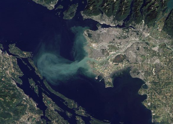
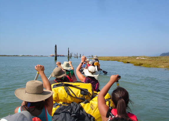
The Estuary
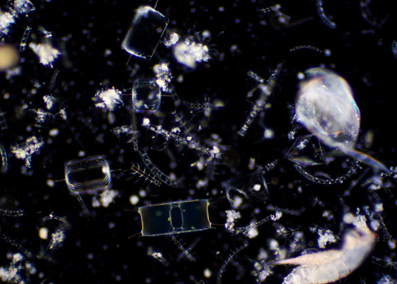
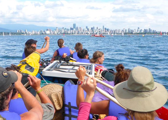
The Fraser estuary is located within the Lower Fraser region. Estuaries form when the fresh water from rivers meets salt water pushed in by the tides of a sea or ocean. Estuary habitats are rare, but they are ecologically significant. These unique environments support diverse and productive ecosystems, providing food, breeding and nursery grounds, and migration stopovers for many wildlife species.
Click the icons to explore the Fraser estuary and learn more about this part of the watershed.